


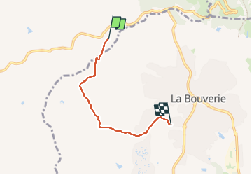


13.3 km | 18.3 km-effort

User


FREE GPS app for hiking
 SityTrail
IGN / Geographical institutes
SityTrail World
The world is yours!
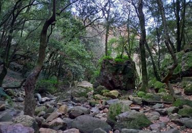
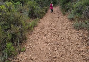
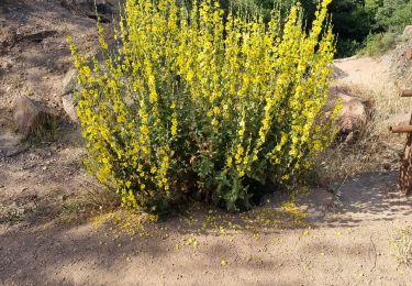
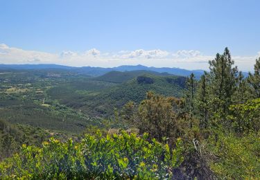
Trail Walking of 4.1 km to be discovered at Provence-Alpes-Côte d'Azur, Var, Le Muy. This trail is proposed by mb83serre.
Tracé incomplet qui fait réellement 8,3 Km.
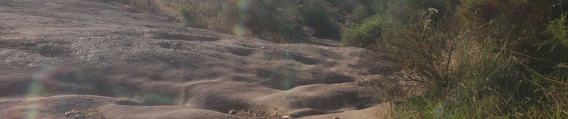
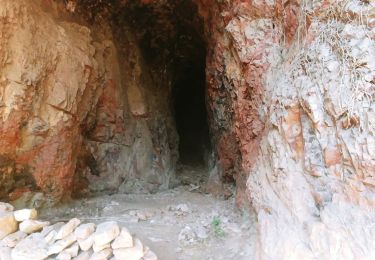
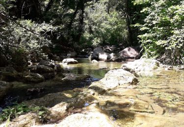
Marche d'été de Olivier: jeudi 25 juillet 2024

Walking

Walking
Walking

On foot
Walking
Walking

Walking
Walking
Walking